
Spatial Design Network Analysis ( sDNA )
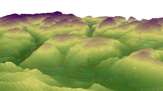
sDNA is world leading 2D and 3D spatial network analysis software for GIS, CAD, Command Line & Python using industry standard network representation.
Home
sDNA is an academic, governmental and commercial project which originated at the Cardiff University School of Geography and Planning and the Sustainable Places Research Institute.
Dr Crispin Cooper and affiliate Dr Alain Chiaradia, an Urban Design lecturer, lead the work on sDNA, which is a world leading spatial network analysis software, compatible with both GIS and CAD.
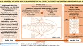
We compute accessibility and predict flows of pedestrians, cyclists, vehicles and public transport users. These predictions inform models of health, community cohesion, land values, town centre vitality, land use, accidents and crime.
We provide a simpler alternative to transport models, particularly for sustainable transport.
Latest news

Research collaborators


Contact us
sDNA Team
The sDNA team

Dr Alain Chiaradia
Director of Space Syntax

Dr Crispin Cooper
Lead developer, Senior Lecturer, School of Computer Science and Informatics, Cardiff University